
Maximize Farm Efficiency with Agriculture Drone Mapping
Agriculture drone mapping turns one flight into drainage maps, contours and pile volumes. Learn what to fly, what you get and how to process it.
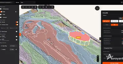
Agriculture drone mapping turns one flight into drainage maps, contours and pile volumes. Learn what to fly, what you get and how to process it.
Drone Mapping Technology